

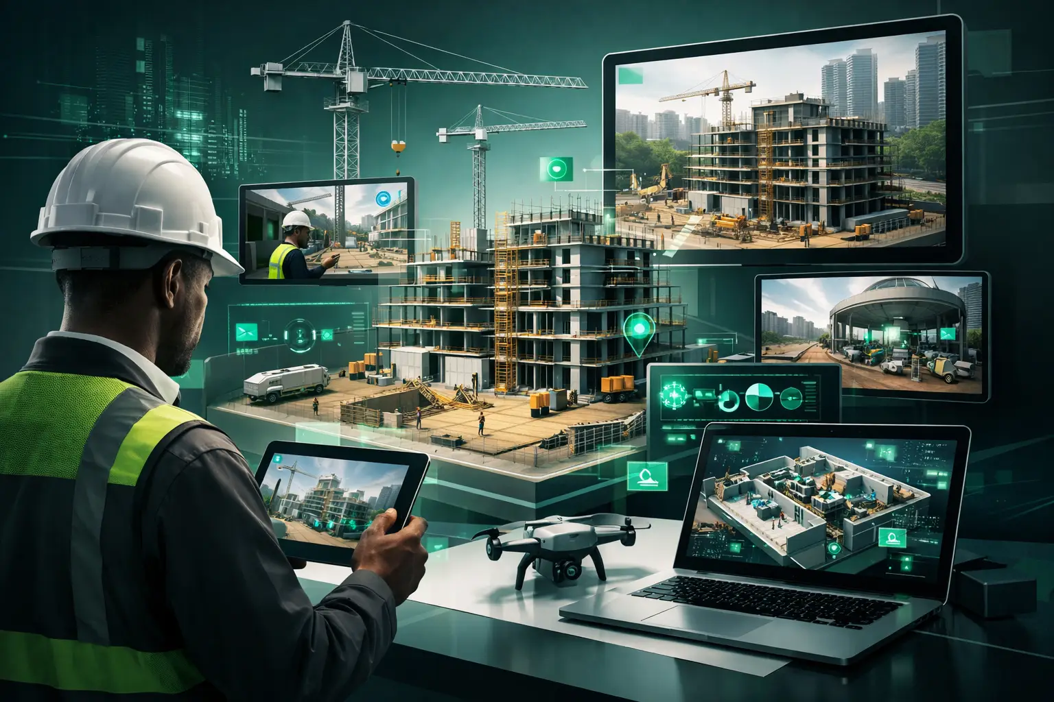
A site can look active and still be behind schedule. Materials may have been delivered but remain uninstalled; a completed floor may conceal unfinished services; and a milestone reported in a weekly meeting may be difficult for a remote stakeholder to verify. This is where visual site monitoring becomes more than photography. It creates a dated, structured visual record that allows decision-makers to see what has changed, where the work stands, and what needs attention without relying solely on verbal updates.
For developers, contractors, funders, architects, and public infrastructure teams, the value is straightforward: better evidence leads to better decisions. A well-designed visual monitoring program makes progress accessible across offices, cities, and countries while preserving a reliable archive of the project throughout construction.
What visual site monitoring should deliver
Visual site monitoring is the systematic capture, organization, and presentation of construction progress over time. Its purpose is not to produce attractive images for a project announcement. Its purpose is to create usable project intelligence.
A useful program combines recurring high-resolution captures with clear dates, locations, and project milestones. Depending on the site and its reporting requirements, the program may include panoramic walkthroughs, drone imagery where permitted, fixed-point photography, 3D digital twins, floor-plan navigation, and annotated visual reports. Each format answers a different question.
A fixed camera position is valuable when a project team needs to compare the same façade, road section, or structural zone each month. A 3D walkthrough is better suited to interior spaces, where stakeholders need to navigate rooms and inspect the visible state of finishes, equipment, and circulation areas. LiDAR-enabled capture can add measurable spatial context, particularly for complex facilities and handover documentation.
The principle is simple: a progress image becomes evidence only when people can place it in time, locate it on the site, and compare it with an earlier condition or the planned condition.
Why visual evidence changes project management
Construction reporting often depends on a mix of schedules, quantities, site notes, invoices, and status calls. These documents remain necessary, but they do not always show the condition of the work. A report may state that a building is 70% complete. A visual record helps a project director understand which areas are at that stage, what is visibly installed, and whether the stated milestone reflects the actual conditions on site.
This matters most when stakeholders are not regularly on site. An investor in Lagos, a technical consultant in Nairobi, a funder in Europe, and an owner’s representative in Yaoundé may all need visibility into the same project. Frequent travel is expensive and can slow review cycles. Remote access to current, navigable visual documentation gives each stakeholder a common reference point before the next decision meeting.
Visual monitoring also reduces ambiguity in communication. Instead of asking whether the exterior cladding has begun, a project manager can refer to a dated view of the relevant elevation. Instead of circulating multiple compressed photos through messaging groups, teams can review a structured record that preserves image quality and context.
That does not mean that visual monitoring replaces site supervision, quality testing, or contractual certification. It does not. A camera cannot confirm concealed reinforcement, concrete strength, or compliance with every specification. Its role is to strengthen oversight by making visible conditions easier to review, discuss, and document.
Building a monitoring plan before capture begins
The strongest results come from planning the visual record before construction reaches critical stages. Starting late is still useful, but it limits the ability to establish a baseline and track changes throughout the entire project life cycle.
Define the decisions the record must support
The first question is not which camera to use. It is what the organization needs to prove, manage, or communicate. A lender may need recurring milestone evidence. A developer may need investor-ready progress updates. A contractor may need an internal coordination record across several work zones. A public agency or development program may need durable documentation for monitoring, evaluation, audit, and community reporting.
These needs determine the capture frequency, level of detail, access permissions, and final reporting format. A monthly record may be sufficient for a long-term civil works project. A fast-moving interior fit-out may require weekly capture during key installation phases. More frequent capture creates a richer record, but it also requires disciplined review. Collecting images without a reporting workflow simply creates another archive that no one uses.
Establish a baseline and repeatable viewpoints
Before major works begin, capture the existing condition of the site, adjacent access routes, boundaries, structures, and relevant utilities. This baseline can be critical if questions arise later about site conditions, pre-existing damage, scope changes, or the impact of construction.
For recurring documentation, identify priority viewpoints and zones: the main entrance, each building elevation, service areas, foundation works, structural cores, key interior rooms, road alignments, drainage elements, or utility corridors. Repeating these views at consistent intervals makes changes immediately legible.
A full 3D capture can complement these repeatable views by allowing stakeholders to move through the environment independently. Interactive hotspots can point users to milestone areas, safety notices, material selections, or technical notes. The result is more useful than a folder of images because it connects visual proof to project context.
Turning captured data into stakeholder-ready reporting
The capture itself is only one part of the service. The operational value comes from how the information is organized and presented.
Each reporting cycle should clearly identify the date of capture, the areas covered, observable progress, and any items that require review. Images or walkthrough views should be grouped by building, level, zone, or work package so that a stakeholder can find the relevant evidence quickly. Where comparisons are useful, previous and current views should be presented side by side or in a time-based sequence.
For large portfolios or multi-site programs, consistent reporting standards are especially important. A school construction program, healthcare upgrade initiative, dealership rollout, or distributed infrastructure project can quickly become difficult to oversee when every location reports differently. Standardized visual templates give program leaders a way to compare progress while retaining the site-specific detail needed for local decisions.
IMMOBITRON supports this approach by converting physical sites into structured digital records that can be explored remotely, reviewed at milestones, and retained as a project archive. For institutional teams, the goal is not merely access to visuals. It is credible documentation that supports communication with funders, executives, regulators, contractors, and communities.
Where visual monitoring has clear limits
A confident monitoring approach acknowledges what visuals can and cannot establish. Lighting, weather, site access, and active work conditions can affect capture quality. Some areas may be unsafe or unavailable at the scheduled time. Privacy, security, and client confidentiality may limit what can be captured or shared.
There is also a difference between visible completion and technical acceptance. Ceiling panels may appear finished while mechanical systems above them remain unresolved. A roadway may look complete before drainage testing or final quality checks have been completed. Reports should therefore distinguish between observable site status and formal certification by the responsible technical authority.
The practical answer is to integrate visual evidence with the project’s existing controls. Pair it with schedules, inspection records, quantity tracking, meeting minutes, and quality reports. When these sources align, stakeholders gain confidence. When they conflict, the visual record provides a concrete basis for asking better questions.
Choosing the right level of technology
Not every project requires a full digital twin at every reporting interval. For a small renovation, high-resolution fixed-point photography and a simple milestone report may provide the right balance of cost and visibility. For a hospital, industrial plant, mixed-use development, or public infrastructure program, interactive 3D walkthroughs and spatially organized documentation can justify the additional investment.
The decision depends on project complexity, stakeholder distribution, reporting obligations, and the expected value of the final archive. A project with remote funders and multiple approval layers benefits from more comprehensive remote access. A project approaching handover benefits from a detailed record of visible conditions, installed assets, and finished spaces. In both cases, the technology should serve the decision process rather than become a display feature.
A construction site changes too quickly for memory, scattered photos, and delayed visits to be reliable management tools. Establish the baseline early, capture consistently, and give every stakeholder a clear view of the work. When the next milestone needs approval, the conversation can begin with evidence instead of assumptions.