

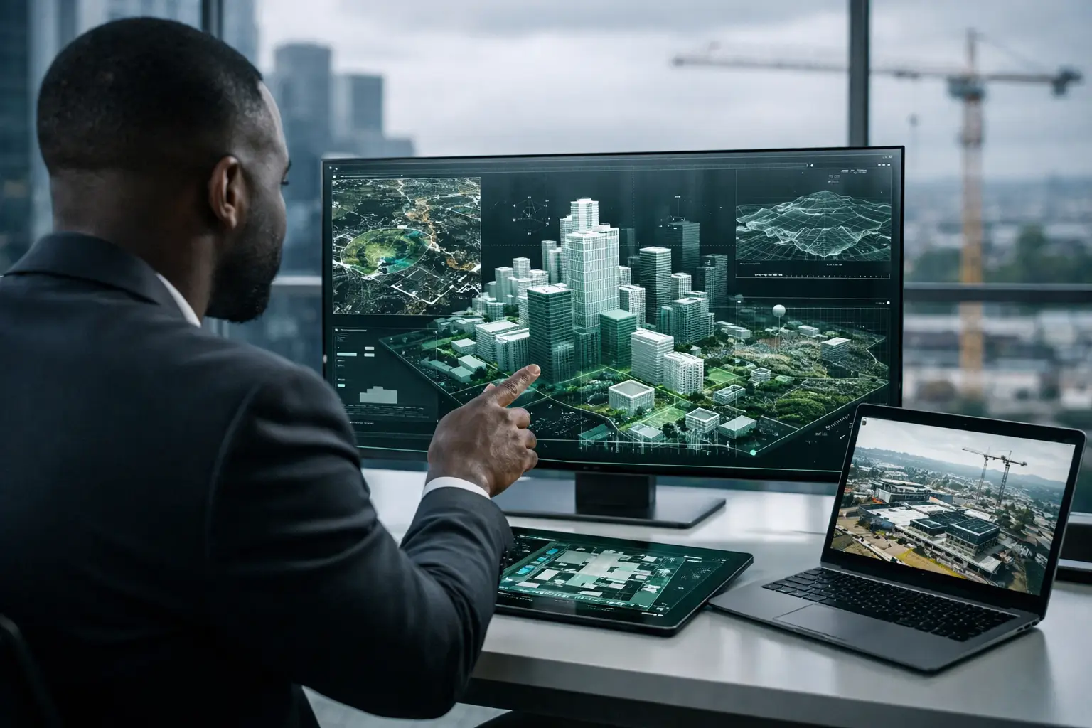
A project team in Lagos needs to review a construction milestone. An investor in the diaspora wants to assess a commercial property in Douala. A hotel operator needs a credible record of room conditions before a refurbishment. In each case, spatial intelligence turns a physical place from something people must travel to see into evidence they can explore, discuss, and act on remotely.
That distinction matters. A collection of attractive images may support marketing, but it rarely answers operational questions: Where exactly is the equipment? What was the site condition at a specific date? How do multiple stakeholders inspect the same space without arranging repeated visits? Can a funder, regulator, or executive team understand the environment without relying on a verbal update?
Spatial intelligence creates a usable digital understanding of real-world spaces. For property, infrastructure, facilities, cultural sites, industrial assets, and automotive showrooms, it provides a visual foundation for decisions that need to be faster, more transparent, and easier to document.
What Spatial Intelligence Actually Means
Spatial intelligence is the ability to capture, structure, analyze, and communicate information about physical environments. In a business setting, it combines technologies such as 3D capture, LiDAR mapping, high-resolution imagery, measurements, floor plans, interactive tags, and cloud-based viewing tools.
The output can be an immersive walkthrough, a navigable digital twin, a dollhouse model, a detailed photo record, or a progress archive built across several site visits. What makes it intelligent is not simply the 3D effect. It is the connection between the visual model and the questions a team needs to answer.
A facilities manager may use the model to orient contractors before a visit. A developer may use it to show unit layouts and finishes to remote prospects. A construction manager may compare documented conditions from one month to the next. An NGO or public agency may use it as a baseline record that makes later reporting more credible.
This is why a digital twin should not be treated as a novelty. At its best, it becomes a shared reference point: a reliable representation of a place that reduces ambiguity between people who are not standing in the same room.
From Visual Content to Decision Evidence
Traditional property media is designed primarily to create interest. Spatial intelligence can do that, but its value extends further because it supports evidence-based workflows.
Consider a mixed-use development being presented to an overseas investor. Photography can establish quality and atmosphere. A 3D walkthrough lets the investor move through circulation routes, examine the relationship between units and common areas, and understand the actual scale of the environment. Floor plans provide orientation. Interactive hotspots can identify features, materials, available units, or project information. Together, these elements make remote review more informed.
The same principle applies to non-commercial spaces. A hospital wing, public building, warehouse, museum, or road project may not need consumer-style marketing. It may need accountable documentation. A spatial record can show what existed at handover, establish the condition of an asset before work begins, or provide a visual reference for dispersed project stakeholders.
For decision-makers, the practical gains are usually clear:
- Fewer unnecessary site visits for early-stage review and stakeholder orientation.
- More consistent visual evidence than informal phone photos and messaging threads.
- Better remote access for investors, partners, funders, technical teams, and leadership.
- A durable record that can support reporting, handovers, inspections, and future planning.
None of this eliminates the need for physical inspection where legal, technical, or safety decisions require it. A virtual environment cannot test structural integrity, verify title documents, or replace a specialist assessment. It does, however, ensure that site visits are reserved for decisions that genuinely require someone to be present.
Where Spatial Intelligence Creates Measurable Value
Commercial property and hospitality
For office buildings, retail spaces, residential developments, hotels, and venues, access is often the first commercial benefit. Prospective tenants and buyers can qualify a space before requesting a viewing. International guests can assess room types, meeting facilities, accessibility routes, and amenities with greater confidence. Empty or unfinished units can also be presented with virtual staging, helping audiences understand intended use without misrepresenting the actual structure.
The trade-off is that presentation must remain accurate. Staged elements should be clearly separated from documented conditions, particularly when the audience includes institutional buyers or investors. Credibility is more valuable than visual polish that creates the wrong expectation.
Construction and infrastructure
Construction teams work across distance, deadlines, and multiple reporting lines. A recurring capture program can establish a timeline of site conditions, allowing project owners, consultants, contractors, and funders to review milestone evidence without relying solely on written updates.
This is especially useful when access is difficult, schedules do not align, or stakeholders are based in different countries. A structured visual archive can support progress meetings, identify areas requiring follow-up, and preserve records that may be needed long after completion.
However, the capture schedule must match the project rhythm. Monthly documentation may be appropriate for a long infrastructure program, while fast-moving interior fit-outs may require more frequent records. The right interval depends on the nature of the work, reporting requirements, and the decisions each capture is expected to support.
Facilities, industrial assets, and public institutions
Large facilities often carry knowledge that exists only in the memory of onsite staff. When personnel change, that knowledge becomes harder to retrieve. A digital twin creates a more accessible spatial reference for maintenance planning, contractor briefing, asset orientation, and operational review.
For public institutions and development programs, the value is often accountability. A documented facility, community asset, or program site can be shared with funders and stakeholders in a format that is easier to verify than a narrative report alone. Sensitive locations may require controlled access, private hosting, and careful decisions about which details should be visible.
Automotive showrooms and dealerships
A dealership is not only a building. It is a customer experience environment where vehicle displays, service areas, brand standards, and visitor flow all influence confidence. An interactive showroom can make that environment accessible to buyers before they travel, while allowing dealerships to feature inventory, promotions, service information, and specific customer touchpoints.
For multi-location dealer groups, standardized spatial capture also helps leadership review how different sites present the brand. The experience should be kept current, particularly when inventory or display layouts change frequently.
Building a Spatial Intelligence System That Works
The most useful projects begin with an operational question, not a camera specification. Is the goal to improve lead qualification? Document project milestones? Create a baseline condition record? Enable remote investor review? Prepare a public-facing cultural experience? The answer determines what should be captured, how frequently it should be updated, and who needs access.
A practical workflow usually starts with project scoping. Teams identify the spaces, priority views, required deliverables, privacy constraints, and intended users. Capture then combines the appropriate methods, which may include LiDAR scanning, 360-degree imagery, standard photography, measurements, and video or guided-call capability.
Processing is where raw capture becomes usable. The resulting environment can include navigable 3D views, floor plans, labels, hotspots, and documentation organized for a specific audience. Finally, teams publish, share, or archive the asset through the right access model. A public marketing tour has different requirements from a secure institutional record.
Audience analytics can add another layer of intelligence for commercial use cases. If a property team can see which areas receive attention, where viewers spend time, or how often a tour is opened, it gains signals that can improve follow-up and presentation. These signals are useful, but they should be interpreted carefully. Viewer behavior can indicate interest; it does not automatically explain intent.
The African Operating Context Matters
Spatial projects must reflect real operating conditions, not only technical ideals. Connectivity varies. Sites can be active, large, remote, or sensitive. Stakeholders may need mobile-friendly access, while international partners expect professional presentation and dependable documentation. A solution that looks impressive but is difficult to load, update, or govern will not produce lasting value.
That is why local project knowledge matters alongside capture technology. IMMOBITRON approaches spatial intelligence as infrastructure for access and evidence: tailored capture plans, structured deliverables, secure hosting options, and support for projects that span locations and stakeholder groups.
The strongest spatial intelligence programs are not the ones with the most visual effects. They are the ones that make a specific decision easier: whether to visit, approve, market, maintain, fund, inspect, or escalate. Start with that decision, build the record around it, and the digital environment becomes far more than a tour.