
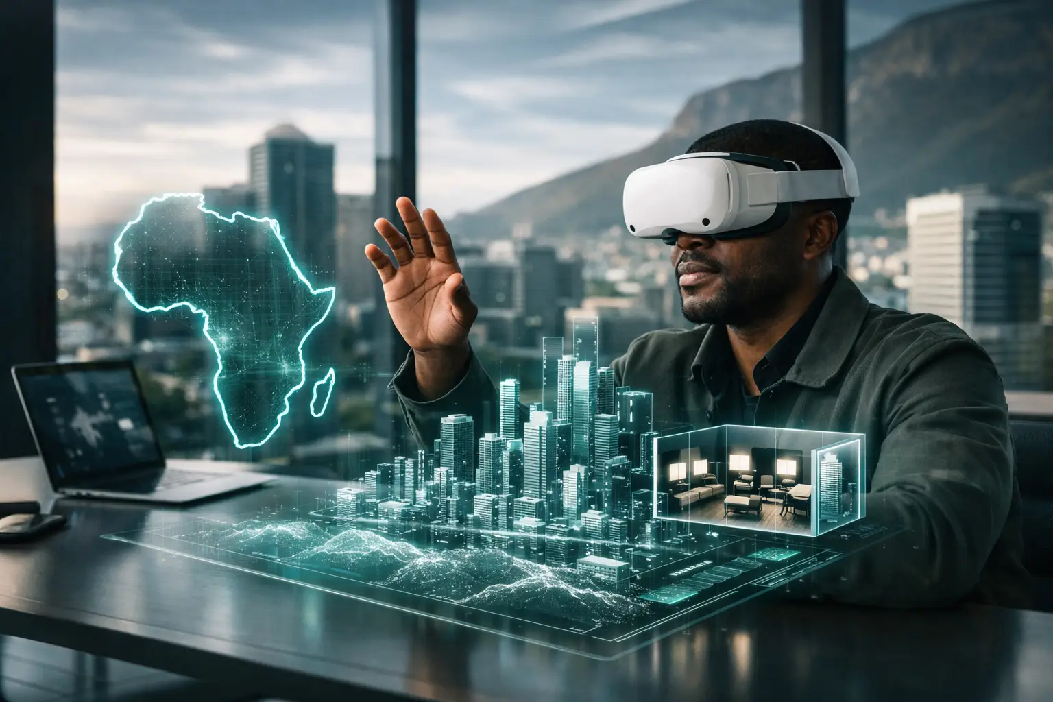
A project site in Douala, a hotel in Accra, a dealership in Lagos, and a public facility in Nairobi can now be examined by stakeholders who may never physically visit them. That shift is driving the spatial computing trends Africa is beginning to operationalize: not technology for spectacle, but digital environments that make physical assets easier to inspect, explain, market, document, and manage.
For African organizations working across dispersed sites, remote investor groups, demanding reporting requirements, and uneven travel conditions, the value is immediate. A well-built virtual environment can shorten approval cycles, create evidence at key project milestones, and give buyers or partners a credible view of a space before committing time and money.
Spatial computing trends in Africa are becoming operational
Spatial computing describes the technologies that allow digital information to understand, represent, and interact with real-world space. This includes 3D capture, LiDAR mapping, immersive walkthroughs, digital twins, geospatial data, augmented reality, and AI-assisted spatial analysis.
The most relevant trend is not that every organization will suddenly adopt augmented reality headsets or complex simulation platforms. It is that high-value physical environments are increasingly being converted into accessible digital records. A digital twin of a commercial building, construction site, museum, showroom, or industrial facility can combine visual context with structured information that supports decisions long after the initial capture.
This distinction matters. A conventional video shows a space from one person's perspective. An interactive 3D environment lets a stakeholder choose where to look, revisit a room, understand circulation, compare conditions over time, and access linked documentation. For projects involving international investors, funders, regulators, technical consultants, or diaspora buyers, that degree of access can materially improve communication.
Digital twins are moving beyond real estate marketing
Real estate remains a visible entry point for spatial computing. Developers and brokers can give prospective tenants and buyers a realistic remote viewing experience, while hospitality operators can show room types, event spaces, restaurants, and amenities with far more credibility than static galleries provide.
Yet the wider opportunity lies in treating captured spaces as operational assets. A digital twin can serve as a baseline record before renovation, handover, occupancy, equipment installation, or infrastructure maintenance. Facilities teams can use it to orient contractors. Development programs can use it to show funders the physical context of an intervention. Cultural institutions can preserve a navigable record of heritage spaces that may be difficult to access or vulnerable to change.
For automotive dealerships, spatial capture is also changing remote customer engagement. A digital showroom can communicate the quality of a facility, guide visitors toward departments or service areas, and support a more considered first interaction before a customer arrives. The result is not simply more online attention. It is a better-qualified visit and a clearer representation of the dealer experience.
The trade-off is that a digital twin only becomes useful when its purpose is defined early. A marketing tour, a handover record, a progress-monitoring system, and an asset-management reference may use similar capture technology, but they require different views, annotations, access controls, update schedules, and outputs.
Construction monitoring is becoming visual evidence
Construction is one of the strongest practical applications for spatial intelligence across African markets. Project leaders often need to communicate progress to clients, consultants, lenders, boards, and funders who cannot be on site every week. Photographs remain useful, but isolated images can omit context. They do not always show where an issue sits within a floor, how areas connect, or whether work has progressed consistently across a site.
Recurring 3D captures create a visual timeline. Stakeholders can return to the same areas across defined milestones, review completed work in context, and use annotated views to focus discussion. This strengthens reporting without pretending that visual capture replaces technical inspections, bills of quantities, or formal certification. It complements those processes by making the physical reality easier to verify and communicate.
For construction managers, the best deployment model depends on project complexity. A single handover capture may be adequate for a small commercial fit-out. A multi-phase development, public facility, or donor-funded program may benefit from scheduled documentation at excavation, structural completion, MEP installation, finishes, and handover. The right frequency is determined by reporting needs, risk exposure, and the cost of unclear stakeholder communication.
LiDAR and AI are improving accuracy and speed
Spatial computing becomes more valuable when visual immersion is supported by spatial precision. LiDAR uses laser measurements to create accurate representations of depth, dimensions, and surfaces. Combined with professional imagery and structured 3D processing, it can produce floor plans, dollhouse views, point clouds, and measurable spatial references.
For architects, facilities teams, and project managers, this can reduce the reliance on incomplete legacy drawings or informal site recollections. For property owners, it can establish a reliable visual record of a space at a particular point in time. For public and institutional projects, it can help create archives that remain useful when staff, contractors, or program partners change.
AI is accelerating the processing and organization of this information. It can assist with image enhancement, object recognition, search, tagging, and the creation of structured outputs from large volumes of capture data. But AI should not be treated as a substitute for quality assurance. Poor capture planning, incomplete coverage, weak metadata, and inaccurate source information will still produce weak results at scale.
The more durable approach is to combine AI efficiency with a disciplined field workflow: define the decisions the digital environment must support, capture the right areas at the right level of detail, verify outputs, and provide stakeholders with a clear path to use the finished record.
Remote access is becoming a business standard
Mobility constraints are not an occasional inconvenience for African organizations. They shape how assets are marketed, supervised, financed, and maintained. Travel between cities can be expensive. Cross-border visits require coordination. Site access can be limited by weather, security requirements, operating hours, or active construction conditions.
Spatial computing does not remove the need for site visits when due diligence, inspection, or technical work requires physical presence. It does make those visits more purposeful. A remote stakeholder can explore a space first, identify questions, and arrive with a clearer brief. A consultant can review conditions before dispatching a team. An investor can narrow a portfolio before scheduling travel.
This is particularly relevant for diaspora audiences and international partners. Credible digital access helps bridge the gap between a remote decision-maker and a physical asset. It also signals professionalism. A property, facility, or project that can be explored clearly is easier to discuss in boardrooms, funding meetings, sales conversations, and procurement reviews.
The next challenge is governance, not capture
As more spaces are digitized, organizations will need clearer rules for ownership, access, storage, and updating. A digital twin may contain information about layouts, equipment, security-sensitive areas, or unfinished works. Not every environment should be publicly available, and not every stakeholder should have the same permissions.
Decision-makers should ask practical questions before commissioning a project. Who needs access? Is the environment public, private, or shared with selected partners? What information belongs in interactive hotspots? How long must the record be retained? Will the site require recurring updates? Can the output be incorporated into reporting, sales workflows, or asset archives?
These questions are especially important for infrastructure agencies, industrial sites, NGOs, and institutional clients. The strongest spatial-computing programs are not built around a one-time visualization. They are designed around a defined information lifecycle, from baseline capture through updates, stakeholder review, and long-term documentation.
What should African decision-makers prioritize now?
Organizations do not need to pursue every emerging technology. The first priority is to identify physical spaces where limited access, weak documentation, delayed approvals, or fragmented stakeholder communication create measurable friction. Those are the environments where immersive 3D capture and digital-twin documentation can produce an immediate return.
Start with a use case that has a clear outcome: stronger remote property marketing, more credible project-progress reporting, a documented handover condition, improved facility orientation, or a digital showroom experience. Define success before capture begins, then select a partner that can deliver appropriate spatial accuracy, hosting, access controls, and support across the project lifecycle.
For IMMOBITRON, the direction is clear: Africa's built environment does not need generic virtual tours. It needs intelligent, credible digital records that help organizations show what exists, prove what has changed, and make better decisions without waiting for everyone to be in the same place. The most valuable trend to act on is the one that turns a difficult-to-access site into usable evidence.