
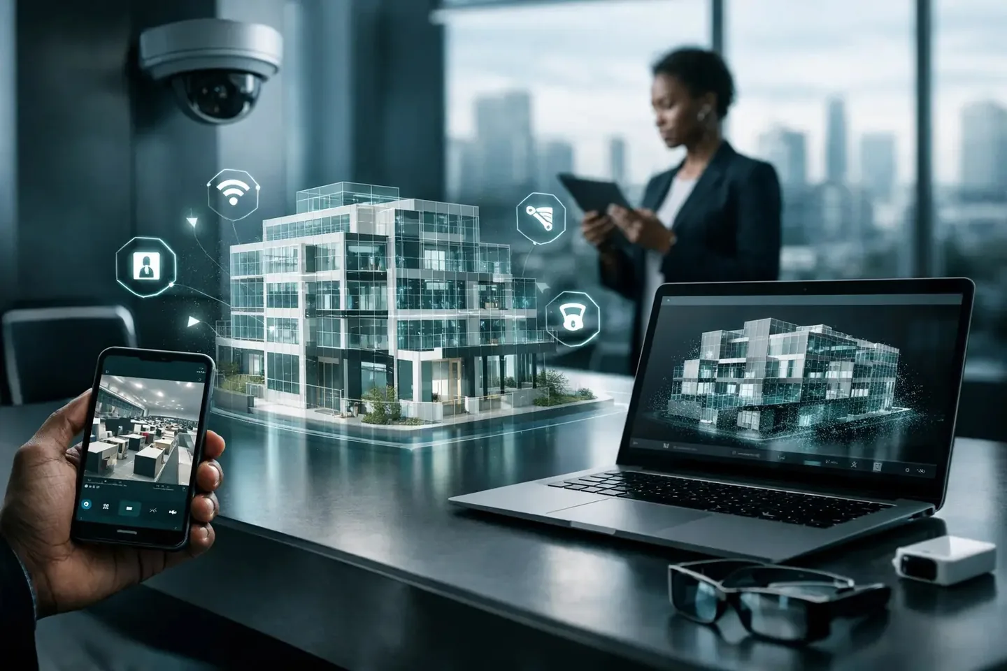
A project site can look active from a progress report while critical work remains incomplete. A hotel can appear well maintained in a brochure while operational teams are managing overlooked defects. A public asset can be difficult to inspect simply because the decision-maker, funder, or technical consultant is hundreds of miles away. Smart infrastructure trends are changing this equation by turning physical environments into accessible, evidence-based digital records.
For developers, infrastructure agencies, facility teams, and development programs, the shift is not mainly about adding sensors or displaying impressive technology. It is about reducing uncertainty. Better spatial data helps stakeholders see what exists, understand what has changed, and make decisions without waiting for every participant to reach the site.
Smart Infrastructure Trends Moving Beyond Sensors
For years, smart infrastructure was commonly associated with connected devices: traffic systems, smart meters, security cameras, environmental monitors, and building controls. Those systems remain valuable, especially where they improve safety, energy performance, or service delivery. But infrastructure intelligence is becoming broader.
The most useful systems bring together operational data and spatial context. A maintenance ticket means more when a facility manager can see the exact room, equipment position, access route, and surrounding condition. A construction update becomes more credible when it is tied to a dated, navigable visual record rather than a selection of isolated photographs. A capital asset register becomes more practical when teams can remotely orient themselves within the asset it describes.
This is why digital twins are becoming a central part of infrastructure planning and management. A digital twin does not have to begin as a complex live simulation. In many cases, the highest-value first step is a precise, immersive representation of a real place, captured at a known point in time and organized for inspection, reporting, and collaboration.
The rise of the visual baseline
A visual baseline is a detailed record of a site before construction, rehabilitation, handover, occupancy, or major operational change. It can establish the condition of roads, facilities, utility spaces, cultural sites, public buildings, industrial plants, or commercial properties at a specific date.
This trend matters because disputes and reporting gaps often begin with a simple question: what was actually there? Traditional photos can help, but they are difficult to navigate and easy to separate from their original context. A structured 3D walkthrough, supported by floor plans, high-resolution imagery, and annotated hotspots, gives reviewers a clearer line of sight.
For public-sector and development projects, baseline documentation can support procurement records, donor reporting, condition assessments, and project accountability. For private operators, it can make handovers, lease discussions, insurance reviews, and maintenance planning more defensible. The record is not a substitute for a technical inspection, but it gives technical teams a stronger starting point.
Digital Twins Become Working Environments
One of the most important smart infrastructure trends is the movement from static models to working digital environments. The difference is practical. A static model may show a building or site. A working digital environment helps people locate information, conduct remote reviews, compare progress, and communicate around the same version of the asset.
Interactive digital twins can combine LiDAR-based spatial capture, panoramic imagery, measurements, floor plans, labels, documents, and media. A project manager can direct a consultant to a specific plant room. A property owner can show a prospective tenant circulation routes, loading areas, or unfinished units. A heritage organization can create a record that makes a fragile or difficult-to-reach location more accessible without increasing physical traffic.
The value grows when the twin is treated as part of a workflow. Construction teams may capture the site at agreed milestones. Facility teams may use it to orient contractors before a visit. A dealership may use an interactive showroom to introduce the physical experience, vehicle zones, and service facilities to remote buyers. Each use case requires different levels of detail, access control, and update frequency.
That distinction matters. Not every asset needs a continuously updated model, and not every project justifies a highly detailed engineering-grade twin. A clear business question should determine the scope: Is the priority marketing, compliance, remote inspection, progress evidence, operations, stakeholder engagement, or a combination of these?
Progress Monitoring Shifts From Claims to Evidence
Construction and infrastructure delivery involve many stakeholders with different levels of site access. Investors may be abroad. Senior officials may have limited time. Consultants may be supporting multiple locations. Funders may need credible evidence before approving the next release of funds.
Recurring 3D capture offers a more disciplined way to document progress. Instead of relying only on written updates or carefully selected images, stakeholders can revisit the same areas over time. They can assess whether structural work has advanced, whether finishes are in place, whether access conditions have changed, and whether reported milestones align with the visible state of the site.
Visual reporting is not a replacement for quantity surveying, engineering verification, or health and safety audits. It does, however, make those processes more efficient by helping reviewers identify where closer attention is needed before traveling. It also creates a useful archive when project personnel change or questions arise after handover.
For dispersed projects across African markets, this can reduce the cost and delay associated with routine site visits. It also supports a more balanced relationship between local delivery teams and remote stakeholders: both groups can review the same documented environment rather than relying on fragmented updates.
Data Governance Is Becoming an Infrastructure Requirement
As more asset information moves online, the question is no longer only how to capture data. Organizations must decide who can access it, how long it will be retained, and what information should remain restricted.
A detailed digital record of a hospital, industrial facility, utility site, or public building can contain sensitive operational information. Open sharing may be appropriate for a tourism venue or property marketing campaign, but unsuitable for technical spaces, security-sensitive locations, or projects involving vulnerable communities.
The smarter approach is to define access and documentation rules early. Stakeholders should agree on ownership of deliverables, permitted users, hosting requirements, update responsibilities, and archive periods. They should also determine whether the capture will be public-facing, shared only with invited users, or incorporated into a controlled institutional workflow.
There is a trade-off here. Greater detail creates stronger operational value, but it can also increase capture costs, processing needs, and governance responsibilities. The objective is not to digitize every corner without purpose. It is to create enough reliable spatial intelligence for the decisions the organization actually needs to make.
Accessibility Is a Core Design Principle
Smart infrastructure frequently fails when it assumes constant high-bandwidth connectivity, uniform device access, or specialized technical skills. These assumptions are especially risky for multi-location projects and geographically distributed teams.
The next generation of infrastructure documentation must be practical for real operating conditions. That means straightforward navigation, clearly labeled views, mobile-friendly access where appropriate, lightweight sharing options, and guided review sessions for stakeholders who need support. It also means designing the capture around actual users, not only the technical team that commissioned it.
A donor reviewing a school rehabilitation project needs a different view from a maintenance manager preparing a repair schedule. A prospective hotel guest needs a different experience from an architect reviewing refurbishment options. The same spatial platform can support both public communication and internal documentation, but only when the content structure and permissions reflect those separate goals.
What Leaders Should Do Next
The organizations gaining the most from smart infrastructure are not necessarily those buying the most technology. They are the ones connecting technology to a repeatable decision process. They identify high-value assets, establish a capture standard, define milestones, assign ownership, and make visual records part of regular review meetings.
Start with one asset or project where remote visibility is currently weak, expensive, or unreliable. Capture a credible baseline. Decide what stakeholders need to see and what evidence they need to retain. Then test how the record improves a real process, whether that is a project review, an investor presentation, a site handover, or a facilities planning session.
IMMOBITRON supports this approach by converting sites, properties, and infrastructure into interactive digital environments designed for remote access, structured documentation, and stakeholder-ready reporting. The strongest result is not simply an impressive virtual walkthrough. It is a clearer shared understanding of the physical asset, available when the next decision cannot wait for the next site visit.