
A project director in Accra should not have to rely on a short video clip, a delayed site report, and a series of unanswered messages to understand what changed on a construction site. Nor should an investor abroad need to make a costly trip simply to verify the condition, layout, and surrounding context of an asset. The future remote inspections model is moving beyond occasional video calls toward evidence-rich digital environments that make physical spaces easier to review, compare, document, and manage.
That shift matters across commercial property, hospitality, industrial facilities, public infrastructure, dealerships, and development programs. Remote access is no longer only a convenience for stakeholders who cannot travel. It is becoming part of how organizations establish accountability, maintain institutional memory, communicate project status, and make decisions with greater confidence.
Why Future Remote Inspections Will Be Evidence-Led
A live video call can be useful, but it is not a durable inspection record. The camera may move too quickly, key details can be missed, and a participant who joins later has no way to retrace the route or assess what was outside the frame. Photos solve part of the problem, yet they often lack spatial context and can be difficult to organize across multiple visits.
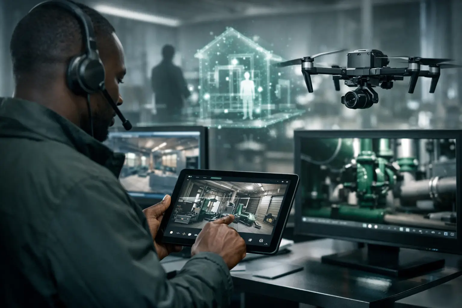
A digital twin changes the structure of the inspection. It creates an interactive representation of the site that can be revisited by authorized users, rather than a one-time viewing event. Stakeholders can move through a building, examine rooms in sequence, understand adjacencies, review marked locations, and return to specific areas when questions arise. When the capture includes high-resolution imagery, measurements, floor plans, and contextual annotations, it becomes far more useful than a visual showcase.
The distinction is especially valuable when decisions involve money, compliance, safety, or public accountability. A developer can show a lender the status of a completed floor. A hotel operator can document room conditions before a refurbishment. A facilities team can identify an area requiring attention without first arranging access for every participant. An NGO can provide funders with credible visual evidence of project milestones in difficult-to-reach locations.
The future is not simply remote viewing. It is remote review supported by records that can stand up to scrutiny.
From Virtual Tour to Operational Digital Twin
Many organizations first encounter immersive capture as a marketing tool. For property leasing, hospitality promotion, or dealership discovery, that remains a strong use case. An interactive walkthrough can help prospective customers understand a space before they visit, filter serious inquiries, and improve the quality of sales conversations.
However, an inspection-ready digital twin must be designed for a different outcome. The question is not only, “Does this space look impressive?” It is, “Can a stakeholder use this environment to verify a claim, identify a location, compare a condition, or understand what requires action?”
That requires intentional capture and documentation. LiDAR mapping can establish spatial accuracy and support measurements. Interactive hotspots can connect a location to supporting notes, specifications, maintenance records, or progress observations. Structured naming conventions can make multi-site portfolios searchable. Date-stamped captures can establish a visual baseline and show how a site has changed over time.
For a construction project, the difference is substantial. A polished walkthrough of a nearly finished building may be useful for communications, but a sequence of captures at defined milestones creates a working record. Project managers, consultants, clients, and remote funders can review progress against the expected stage of work. They can also identify areas that need closer physical verification before approvals are issued.
This does not mean a digital twin replaces every site visit. Structural assessments, safety-critical checks, regulatory inspections, and specialist testing still require qualified people on the ground. The strongest operating model combines physical expertise with digital access. Remote review narrows the issues, reduces unnecessary travel, and helps the right people arrive on site with better questions.
What Makes a Remote Inspection Credible
Credibility comes from more than camera quality. A high-resolution image is valuable, but it cannot answer every question if nobody knows when it was captured, where it belongs in the site, or whether it represents the complete condition of the area.
First, the inspection scope must be clear. A baseline record for an existing facility has different requirements from a monthly construction-progress review or a pre-handover condition record. The project team should define the spaces, assets, viewpoints, and evidence required before capture begins. Without a scope, teams can collect a large volume of visuals that remain difficult to use.
Second, the digital environment needs spatial context. Floor plans, dollhouse views, maps, and guided navigation help viewers orient themselves. This is particularly important for large facilities, multi-floor developments, warehouses, campuses, and public infrastructure where a single image can be ambiguous.
Third, time must be visible. A dated archive makes progress comparisons possible and protects against confusion between old and current conditions. For long-running projects, consistent capture routes and repeatable viewpoints are more useful than a collection of visually attractive but unrelated images.
Finally, access and governance must match the project. A public marketing walkthrough and a secure institutional record should not be treated the same way. Teams need appropriate user permissions, controlled sharing, defined retention periods, and a practical approach to sensitive spaces or data. For public-sector and development projects, these considerations often matter as much as the visual output itself.
The Business Case Is Faster Decisions, Not Fewer People
The value of remote inspection technology is often described as travel savings. Those savings are real, particularly for dispersed portfolios and projects involving international investors, technical consultants, or diaspora stakeholders. But travel is only one cost.
The larger gain is the reduction of decision delay. When a stakeholder can review an accurate digital record immediately, a question about a lease-ready unit, completed works, showroom layout, or facility condition does not need to wait for the next visit. Teams can prepare for meetings with shared visual context rather than spending the first half of a call explaining where an issue is located.
For commercial real estate, this can improve the quality of investor and tenant engagement. For hospitality, it can help brand teams, operators, and renovation partners coordinate around the same condition record. For automotive dealerships, an interactive digital environment can document the customer-facing experience while helping remote buyers understand available facilities, service areas, and inventory presentation.
There are trade-offs. Comprehensive capture takes planning, and a digital twin is only as current as its latest update. A rapidly changing construction site may need milestone-based recaptures, while a stable office building may only need refreshes after major alterations. Organizations should avoid treating digital documentation as a one-off content project when the real need is an ongoing evidence system.
How Inspection Workflows Will Change
The most effective future remote inspections workflows will begin before anyone opens a virtual walkthrough. Project owners will define the decision the record must support: investor due diligence, progress certification, asset handover, maintenance planning, remote sales review, or stakeholder reporting. That decision determines the capture frequency, level of detail, annotation strategy, and security requirements.
After capture, the record should be organized for action. A remote reviewer should be able to identify the asset or room, see when it was documented, navigate to relevant evidence, and raise a clear follow-up question. When a physical visit is required, the digital twin should help target that visit rather than duplicate it.
Over time, organizations will increasingly connect visual records with other operational information. An equipment hotspot may point to an asset register. A flagged area may align with a maintenance ticket. A completed construction zone may be associated with a milestone report. The purpose is not to create technology for its own sake. It is to reduce the gap between what is happening in a physical environment and what decision-makers can reliably know about it.
For African organizations operating across cities, borders, and varied access conditions, this approach has particular force. It supports international-quality reporting without assuming every stakeholder can be present at the same place and time. It also creates a more durable record when project teams, consultants, or funding partners change.
Preparing for an Inspection-Ready Portfolio
The practical first step is to identify the spaces where missing visual evidence creates friction. This may be a construction project with remote funders, a property portfolio with frequent tenant inquiries, a hotel preparing for upgrades, or an infrastructure program with complex reporting requirements.
Start with a pilot that has a defined decision use case and a clear audience. Capture a baseline, establish who can access it, and decide how observations will be recorded. Then assess whether the digital record reduced site visits, improved response time, strengthened reporting, or helped resolve questions earlier. A capable spatial intelligence partner can scope the capture around those outcomes rather than delivering a generic virtual experience.
IMMOBITRON approaches this work as structured digital documentation: immersive access, spatial context, and evidence that remains useful after the first viewing. The best remote inspection systems will not make physical places less important. They will make the knowledge contained in those places more accessible to the people responsible for acting on it.