
A vacant office floor in Douala, a hotel expansion in Accra, or a retail facility being reviewed by investors abroad can all face the same problem: the people who need to assess the space are not physically present. A commercial property digitization guide begins with that operational reality. The objective is not simply to create an attractive virtual tour. It is to produce a credible, usable digital record that makes a property easier to market, inspect, manage, report on, and revisit over time.
For owners, developers, facilities teams, and institutional project leaders, digitization turns a physical site into accessible evidence. Done well, it supports commercial visibility and operational control at the same time.
What Commercial Property Digitization Actually Means
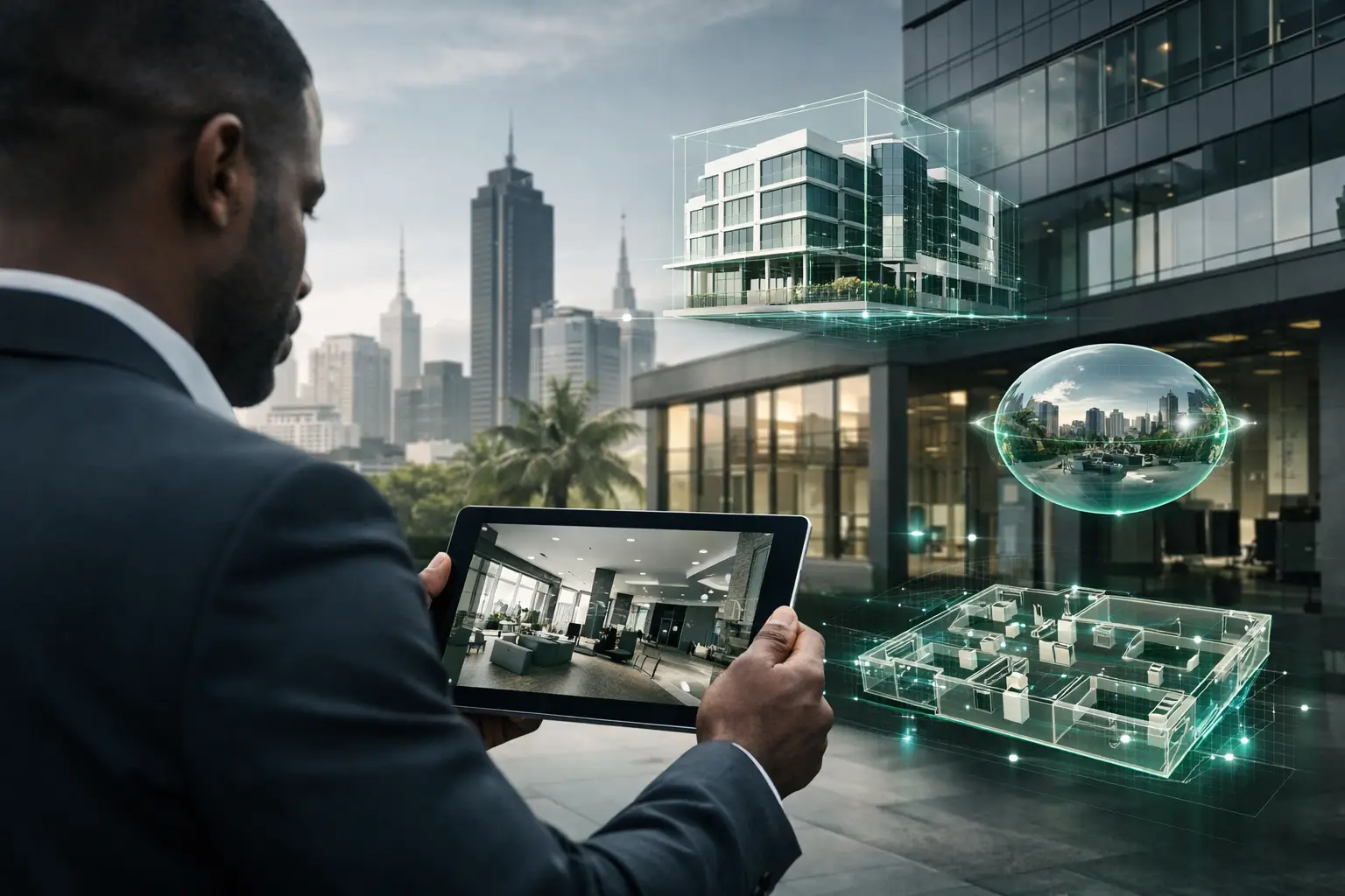
Commercial property digitization is the structured capture and organization of a physical asset into digital formats that stakeholders can view, navigate, measure, and reference remotely. Depending on the project, that may include immersive 3D walkthroughs, high-resolution photography, floor plans, dollhouse views, LiDAR-derived spatial data, interactive hotspots, and project documentation.
A basic virtual tour may be enough for a small retail listing. A multi-tenant office building, industrial facility, hotel, dealership, or public asset often needs more. It may require a digital twin that reflects the layout of the site, key rooms and assets, safety information, construction milestones, or maintenance records.
The distinction matters. Marketing content is designed to generate interest. A digital record is designed to support decisions. Many projects need both, but the capture plan should establish which outcome has priority before anyone brings equipment on site.
Start With the Decision You Need to Improve
The strongest digitization projects start with a practical question: what decision is currently slowed down by limited access to the property?
For a commercial broker, the answer may be qualifying prospects before arranging a visit. For a hotel operator, it may be helping event planners evaluate meeting facilities from another country. For a construction manager, it may be documenting visible progress for a lender, client, or development partner. For a facilities team, it may be maintaining a visual baseline before renovations, handover, or equipment upgrades.
This decision-first approach determines the right deliverables. An investor reviewing a mixed-use development may need a guided 3D experience, current progress imagery, and clear floor-plan context. A property manager preparing for tenant turnover may need a dated condition record with close visual coverage of critical areas. A dealership may need an immersive showroom environment supported by hotspots for services, vehicles, financing, or customer amenities.
Digitization is most valuable when it removes a specific source of uncertainty. If every stakeholder still needs to travel to the site to understand its condition, scale, or layout, the digital experience has not gone far enough.
Build a Capture Scope Around the Asset
Every square meter does not carry the same commercial or operational value. A capture scope should reflect the way the property is used and the audiences who need access.
In an office building, reception areas, circulation routes, available suites, shared amenities, parking access, and building services may deserve priority. In hospitality, guest rooms, conference facilities, restaurants, leisure areas, and arrival experience are often central to revenue and brand perception. Industrial sites may require coverage of production zones, storage areas, loading access, safety routes, and equipment locations, with appropriate restrictions around sensitive operations.
Before capture day, identify access constraints, occupancy levels, security requirements, and the condition of each space. Clear temporary clutter where possible, but do not over-stage an operational facility to the point that it stops representing reality. A leasing tour can benefit from styling and virtual staging. A progress-monitoring or baseline-documentation project should preserve an accurate view of the site at the relevant date.
It also helps to decide what should not be captured. Server rooms, security panels, confidential documents, resident information, and restricted production processes may need to be excluded, blurred, or placed behind controlled access. Digital access increases reach, which makes governance part of the project rather than an afterthought.
Use the Right Layers of Digital Documentation
A useful commercial property digitization guide does not treat all visual outputs as interchangeable. Each layer answers a different question.
Immersive 3D walkthroughs help remote audiences understand flow, scale, and spatial relationships. They are particularly effective for leasing, hospitality sales, showroom marketing, and stakeholder briefings because viewers can move through the property at their own pace.
High-resolution photography provides the controlled, polished imagery needed for brochures, listings, presentations, and campaigns. Floor plans give viewers an efficient overview of layout and room relationships. Dollhouse views are useful where a top-down understanding of the property makes circulation or unit configuration easier to grasp.
Interactive hotspots turn the environment into an information interface. A hotspot can identify available office space, display a specification, explain equipment, point to a project milestone, or direct a stakeholder to approved documentation. Used sparingly, they reduce the need for separate explanatory materials. Used excessively, they can make the experience feel cluttered and distract from the space itself.
For construction and institutional work, dated capture is often as valuable as immersive access. Repeating scans and photography at agreed milestones creates a visual reporting trail. This can support remote review, funding reports, handover preparation, dispute prevention, and post-project reference. The trade-off is that recurring documentation requires a consistent scope and schedule. One impressive scan at project completion cannot replace a disciplined record of change.
Make the Digital Twin Useful After Launch
A digital twin should not disappear into a campaign folder once the property is leased or the project is handed over. It can remain a working reference for teams responsible for operations, maintenance, inspections, and stakeholder communication.
To achieve that, establish ownership early. Decide who can publish updates, who approves new information, which stakeholders receive viewing access, and how long the digital record should be retained. A property with frequent tenant changes may need quarterly updates. A stabilized facility may need updates only after major works, reconfiguration, or a change in asset condition.
Naming conventions also matter. Use consistent labels for buildings, floors, rooms, units, and equipment zones. Connect visual records to the language already used by facilities, leasing, and project teams. If a site plan calls a room "Level 2 Meeting Suite B," the digital environment should not label it "Conference Room 4." Small inconsistencies create friction when a digital twin is used as evidence.
For complex portfolios, secure cloud hosting and permission-based access are worth considering. A public-facing tour and an internal documentation environment do not need to contain the same information. The right model depends on whether the primary need is lead generation, internal oversight, regulatory reporting, or a combination of all three.
Measure Results Beyond Views
A high number of tour views can be encouraging, but it is not the only measure that matters. Commercial teams should look for changes in inquiry quality, time spent explaining the property, qualified site visits, and the speed of stakeholder approvals. If a remote investor can understand a development before scheduling a call, the tour has shortened the path to a serious conversation.
For operational teams, useful measures may include reduced travel for routine reviews, faster reporting cycles, stronger handover records, and fewer disputes about visible site conditions. Development programs and public-sector institutions may place more value on audit-ready milestone evidence and inclusive remote access for geographically distributed stakeholders.
The metric should match the project objective. A marketing deployment that produces fewer but better-qualified inquiries may outperform a broadly distributed experience that generates attention without intent.
Choose a Partner That Understands the Operating Context
Spatial capture quality depends on more than the camera. It depends on site planning, the ability to work around active operations, accurate processing, secure delivery, and a clear understanding of how the finished environment will be used.
For African commercial and institutional projects, this also means accounting for dispersed stakeholders, variable connectivity, security requirements, and the need to present assets to both local decision-makers and international audiences. IMMOBITRON approaches this work as spatial intelligence: a combination of immersive access, structured documentation, and project-ready visual evidence rather than a one-time tour product.
Ask prospective providers how they handle multi-location delivery, restricted areas, hosting, data ownership, update cycles, and the outputs you can retain after the project. The lowest initial price can become expensive if the asset cannot be updated, shared securely, or integrated into the team’s real workflow.
A well-planned digital property record gives people a reliable way to revisit a place when travel is difficult, time is limited, or evidence matters. Start with the decision that needs better visibility, then design the digital environment around that decision.