
An investor based in Lagos, a buyer in Douala, and an operations manager in Nairobi can't always travel to a site before making a decision. Yet, they need to assess the size, flow, condition, and potential uses of a property. A 3D Real Estate virtual tour addresses this very constraint: it transforms a physical location into an interactive environment, accessible remotely and capable of supporting a real decision.
For a developer, agency, hotelier, or asset manager, the stakes go beyond aesthetic presentation. It's about making an asset visible, accessible, and credible, without waiting for an in-person meeting. A well-designed tour becomes a sales tool, a coordination aid, and a valuable historical record.
A Tour Experience That Provides Evidence
A photo gallery shows selected viewpoints. A video dictates a path. A 3D tour allows the user to observe at their own pace, revisit a room, verify the relationship between two spaces, and understand the overall logic of the building. This freedom of navigation significantly reduces the uncertainty that hinders remote transactions.
The result does not systematically replace a physical visit. For a complex transaction, a technical inspection, or the final validation of a lease, an on-site presence often remains necessary. However, it allows these visits to be reserved for qualified prospects, decisive stages, and those whose presence is truly useful.
This distinction is particularly important in African markets, where distances, schedules, mobility constraints, and the dispersion of stakeholders can slow down a project. A digital space allows a property owner to present a building to an international investor, to a management team to review a regional agency, or to a financier to visualize an asset before a site visit.
What a 3D Real Estate Virtual Tour Should Show
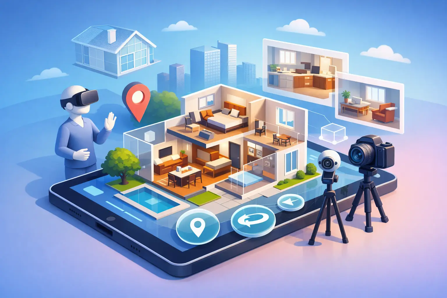
The value of a tour depends less on the technological effect than on the quality of the information it makes accessible. A professional scan can combine immersive navigation, a dollhouse-like overview, floor plans, and interactive information points. These elements address different needs.
The immersive view recreates the feeling of being physically present. The volumetric view helps understand the layout of levels and rooms. Floor plans facilitate the understanding of surfaces and circulation patterns. Hotspots can document equipment, finishes, technical areas, rental availability, or construction phases.
For a new development, annotations can guide visitors to apartment types, common areas, access points, and amenities. For a retail property, they can highlight storefronts, storage areas, loading docks, restrooms, or technical networks. In the hospitality sector, they serve to present guest rooms, meeting rooms, restaurants, and customer journeys without compromising the overall experience.
A LiDAR scan enhances this spatial understanding by measuring the environment and producing a more reliable representation of dimensions and volumes. It is not a substitute for a surveyor's report, construction plans, or a regulatory assessment. However, it provides a particularly useful visual basis for analysis, coordination, and communication.
Selling Better, But Also Managing Remotely
Reducing 3D tours to a mere marketing tool would be a mistake. Their potential extends throughout the entire lifecycle of a property or project.
Before listing, it helps prepare a coherent presentation and enhance the value of a vacant, renovated, or recently delivered asset. During the sales process, it filters out unqualified inquiries and improves communication with remote prospects. After the transaction or delivery, it can serve as a visual reference for facility management teams, new occupants, and service providers.
In the construction sector, regular captures at defined milestones create a visual timeline of the work. A project owner can compare the condition of a level at different dates, present progress to a steering committee, or attach visual evidence to a project report. Images do not replace quality control or contractual responsibilities, but they do make discussions more factual.
For public institutions, NGOs, and development programs, this documentary dimension is often crucial. A health center, a school, a market, a logistics corridor, or a community facility can be archived in a format easily accessible to distributed teams. The site visit then provides a layer of transparency that is valuable to partners, donors, monitoring teams, and the beneficiaries involved.
Capture Quality Determines Credibility
A poor site visit can have the opposite effect of what is intended. Dark images, poorly prepared rooms, confusing navigation, or missing information give the impression of a neglected asset. Technology cannot compensate for a lack of preparation.
The work therefore begins before the site is captured. The site must be tidy, secure, and prepared. Sensitive areas must be identified: visible documents, screens, license plates, personal data, staff-only areas, or confidential equipment. Depending on the context, certain areas will be blurred, excluded, or made accessible only to authorized personnel.
The site visit scenario also requires a clear decision. Should the entire building be shown, or only the marketable spaces? Should the tour be public, shared by invitation only, or integrated into a private presentation? What information should appear in the hotspots? These choices depend on the project's maturity level, the nature of the asset, and confidentiality obligations.
High-resolution photography often complements the experience. It provides editorial visuals for brochures, sales networks, and investor presentations, while the tour retains its role as a spatial exploration. The two formats have different uses and are best considered together.
Measuring Interest, Rather Than Counting Views
An online tour alone does not guarantee bookings, sales, or signed contracts. Its effectiveness depends on the price, the quality of the property, the competition, the marketing strategy, and the responsiveness of the teams. However, it provides more useful signals than a simple static image.
Audience data can reveal which areas capture attention, how long visitors spend exploring the site, and which paths are most frequently followed. For a sales team, this information helps to better prepare follow-ups. If several prospects spend time in the meeting rooms of an office building, the sales pitch can be geared towards corporate use rather than just the location.
This data must be interpreted with caution. High traffic can indicate interest, but also misunderstanding or a very broad campaign. It should be cross-referenced with inquiries received, physical visits, conversion rates, and feedback from field teams.
Choosing a Capture Partner for Real-World Challenges
The right provider doesn't just deliver a website link. They understand the project's operational objective, site access constraints, target audiences, and the expected level of documentation. For a multi-site portfolio, consistency in captures, plans, nomenclatures, and deliverables becomes essential.
Before launching the project, it's helpful to clarify four key points: the exact scope of the spaces to be digitized, the expected deliverables, access rights, and the hosting duration. It's also essential to determine who will approve the tour before publication and how updates will be handled if the site changes.
With this in mind, IMMOBITRON approaches 3D capture as an infrastructure for access and proof, tailored to the realities on the ground in Africa as well as the requirements of international partners. The value lies in the comprehensive service: preparation, digitization, processing, documentation, distribution, and support.
Making Every Location an Accessible Asset
A high-performing 3D virtual tour doesn't aim to impress for thirty seconds. It allows the right person to understand a location, at the right time, even if they are thousands of kilometers away. For teams that need to sell, lease, deliver, finance, or oversee spaces, this capability can streamline discussions and improve the quality of decision-making.
The best starting point is to choose a site that is currently difficult, expensive, or strategically important to access. By properly documenting it now, you create an immediately useful resource and a visual archive that will continue to support your operations as the project progresses