

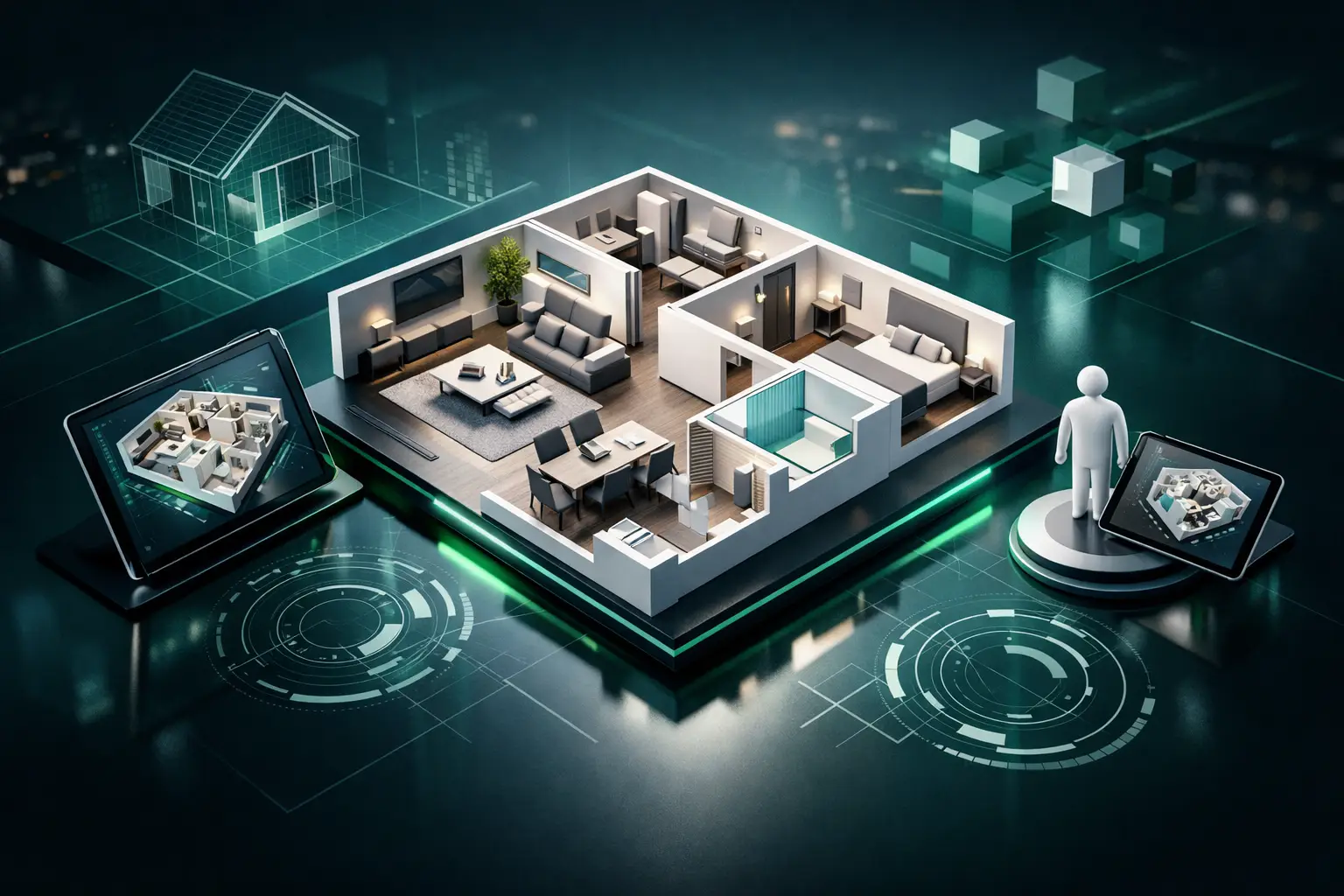
A decision made from a flat drawing can miss the reality of a space: the relationship between a reception desk and an entry, the distance from guest rooms to amenities, or the visibility of a vehicle display from the showroom door. A 3D floor plan gives stakeholders a more immediate way to understand that reality. It converts a physical environment into an interactive spatial view that can support marketing, review, documentation, and remote coordination.
For organizations managing properties, facilities, construction sites, public assets, or customer-facing locations across African markets, this is not simply a better-looking floor plan. It is a credible visual record that helps people make decisions without needing to be physically present.
What a 3D floor plan actually shows
A traditional 2D floor plan communicates dimensions, walls, rooms, doors, and circulation paths efficiently. It remains indispensable for architectural design, approvals, and technical coordination. Its limitation is that it asks nontechnical viewers to mentally reconstruct a three-dimensional environment from symbols and lines.
A 3D floor plan presents the same spatial logic in a more intuitive format. Viewers can see room layout, relative scale, openings, furniture arrangements where included, pathways, and how individual areas connect. Depending on the capture and delivery scope, it may also be paired with a dollhouse view, immersive walkthrough, high-resolution imagery, room labels, measurements, and interactive hotspots.
The result is more than a marketing image. It becomes a shared reference point for a broker speaking with an overseas buyer, a hotel manager reviewing a renovation, a donor assessing a completed facility, or a construction team comparing a milestone against previous documentation.
Why 3D floor plans improve remote decisions
The core value is reduced interpretation. A stakeholder who has never visited a building can understand its layout faster when they can move between an overhead 3D perspective and an immersive, eye-level view. This creates a stronger basis for shortlisting, reviewing, approving, and planning.
For commercial real estate, a 3D floor plan can show whether a space supports a tenant's operational needs before an in-person visit. A retailer can assess frontage, back-of-house access, and customer flow. An office tenant can evaluate meeting areas, circulation, and team zones. For hospitality operators, the view can help communicate room categories, public spaces, event facilities, and guest movement across a property.
The advantage extends beyond revenue-facing uses. Facilities teams can use a structured visual model to orient new staff, prepare maintenance visits, and identify the location of equipment or critical areas. Public agencies and development programs can preserve a baseline record of schools, clinics, community facilities, or infrastructure assets before interventions begin.
A clear visual record also improves the quality of conversations. Rather than saying “the storage room near the rear corridor,” participants can point to the same location in a shared digital environment. That matters when investors, consultants, contractors, and administrators are working across cities, countries, or time zones.
A 3D floor plan is strongest when paired with evidence
A visually attractive model alone is not always enough. For a high-value asset, a regulated project, or a multi-stakeholder program, the 3D floor plan should sit within a broader documentation approach.
This is where 3D capture and digital twin technology become especially useful. LiDAR-supported spatial capture can create a detailed, navigable representation of an environment, while panoramic imagery provides an eye-level view of finishes, conditions, and context. Floor-plan views make navigation simple, and interactive hotspots can connect important locations to descriptions, documents, specifications, or progress notes.
For a construction project, that combination can establish a visual baseline at mobilization and provide documented milestones at agreed stages. For an industrial facility, it can support a searchable reference for site familiarization and remote operational review. For a heritage site or cultural venue, it can preserve spatial context while expanding public or stakeholder access.
The appropriate level of detail depends on the intended use. A marketing campaign may prioritize presentation, staging, and fast viewer access. A project-monitoring assignment may require repeat capture dates, consistent viewpoints, annotations, and secure archival delivery. A facility documentation project may need labels for systems, zones, and assets. Defining the decision the model must support should come before selecting the visual output.
Where the format creates practical value
A 3D floor plan is useful whenever physical access is expensive, slow, limited, or unnecessary for an initial review. The following applications are particularly relevant for distributed portfolios and projects:
- Property marketing and leasing: Help qualified buyers and tenants understand a listing before scheduling a visit, especially when they are abroad or based in another city.
- Hospitality sales and operations: Present guest rooms, restaurants, conference areas, and amenities with clarity while giving internal teams a reference for layout and service planning.
- Construction progress monitoring: Record site conditions at milestones, communicate progress visually, and give funders or remote project leaders a grounded view of work completed.
- Automotive dealerships: Show customer areas, service bays, display zones, and dealership experience in a format that supports remote discovery and brand presentation.
- Institutional asset documentation: Create an accessible visual archive of offices, schools, clinics, public facilities, and program sites for review, reporting, and continuity.
These uses are distinct, but they share one goal: making a real environment easier to inspect, understand, and communicate without relying exclusively on travel or fragmented photo folders.
What a 3D floor plan cannot replace
A plan de sol 3D should not be treated as a substitute for every technical document. It does not automatically replace certified architectural drawings, survey records, engineering assessments, bills of quantities, safety inspections, or legal property verification. If precise tolerances, compliance decisions, or contractual measurements are required, the project team should define the required measurement standard and engage the appropriate professionals.
It also cannot resolve poor site readiness. Cluttered rooms, unfinished work, restricted areas, or inconsistent lighting can affect what viewers see and how confidently they interpret the model. In a marketing setting, preparation may include cleaning, staging, and deciding what should be visible. In a documentation setting, the priority may be completeness and honest condition reporting rather than visual polish.
Privacy and access control deserve equal attention. A publicly marketed property may benefit from broad sharing, while a government facility, industrial site, or development-program location may need restricted access, controlled hosting, and careful treatment of sensitive areas. The right delivery method depends on the audience and the information contained in the space.
How to scope a useful 3D floor-plan project
The most effective projects start with a practical question: who needs to make what decision after viewing this space? That answer determines capture scope, navigation design, annotation needs, hosting requirements, and the level of post-production.
First, identify the spaces that matter. A full building capture may be appropriate for a hotel or large commercial property, while a phased approach may make more sense for a construction site or a multi-location portfolio. Next, determine the audience. A prospective tenant needs a different experience from a technical reviewer or a funding partner.
Then define the evidence required. Is the deliverable intended to attract inquiries, support a remote inspection, record an asset condition, or demonstrate progress against a plan? For monitoring assignments, establish repeat dates and required viewpoints before the first capture. Consistency turns individual scans into a usable reporting sequence.
Finally, agree on access and lifecycle. Consider how long the model must remain available, who can view it, whether it needs branding or white-label presentation, and how it will fit into reports, sales workflows, asset records, or stakeholder communications. A digital environment has greater value when it is designed as part of an operating process rather than as a one-time visual deliverable.
From spatial capture to working intelligence
The technology is valuable because it creates access, but its business impact comes from what that access enables. A prospective investor can review a development before traveling. A project director can inspect a milestone remotely. A facilities manager can orient a vendor before arrival. A public institution can retain a visual record that survives staff transitions and fragmented filing systems.
IMMOBITRON approaches 3D spatial documentation as a project-based service, matching capture, digital twin delivery, visual reporting, and hosting controls to the environment and the decision at hand. That approach is particularly relevant where assets are geographically dispersed and stakeholders need evidence they can review from anywhere.
The best time to plan a 3D floor plan is before access becomes difficult, a site changes, or a critical decision is delayed by incomplete visual information. Capture the space with a defined purpose, and it can continue supporting the people responsible for it long after the initial walkthrough is complete.